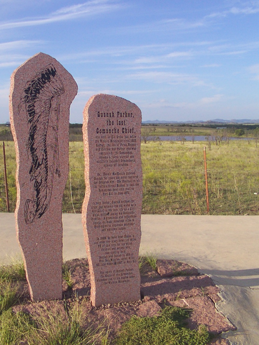
Quanah Parker - The Last Comanche Chief
Quanah Parker - The Last Comanche Chief
Location
Directions
Regions
Maps
- 34.63100, -98.83669
- OpenStreetMap
- Google Maps
- Bing Maps
- Apple Maps
- MapQuest
Pictures
Notes
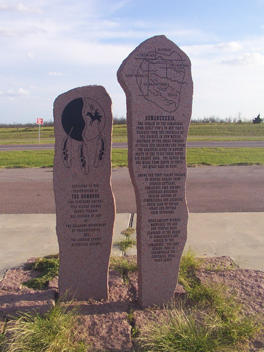
Front side of Monument:
Comancheria
The domain of the Comanches from early 1700's to Mid 1800's. Reached from the foot hills of the Rockies to New Mexico. Eastward to the cross timbers of Texas and Oklahoma and from the Arkansas River to Kansas, south to the Texas Pecos River, Rio Grande area. The Nation was 600 miles from north and south, 400 miles from East to West. Among the 1st Plains Indians to acquire horses from Spanish settlers. Comanches soon became legendary horsemen. Seizing control of Comancheria and securing their Land of Waving Grass and Buffaloes from intruders. These ancient Wichita Mountains you are now viewing were center in the heart of Comancheria and scared to the Comanches. The aged Ceders used in ceremonial for centuries still stand guard. Dedicated to the preservation of the NUMUNUU (The Comanche Nation this Quanah Parker seneic turnout was erected in 1997 by the Dept of Transportion and the Jackson County Historical Society.
Links:
- www.indigenouspeople.net/qparker.htm
- www.famoustexans.com/quanahparker.htm
- en.wikipedia.org/wiki/Quanah_Parker
- en.wikipedia.org/wiki/Comancheria
On Flickr

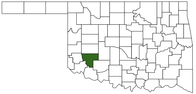 Kiowa County
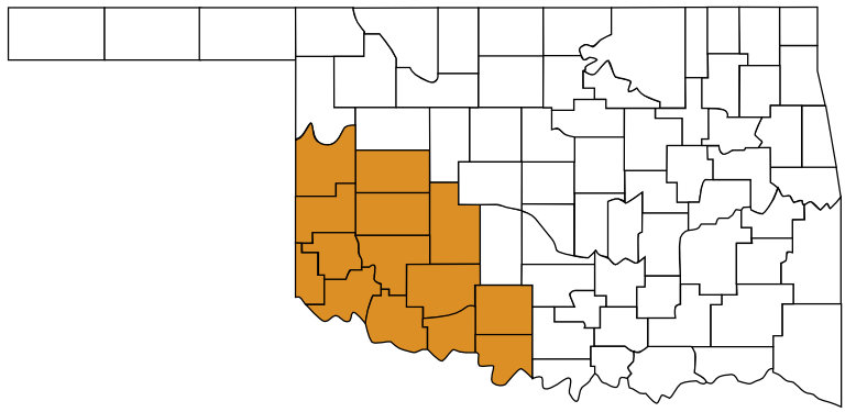 Great Plains Country
 Oklahoma